From Steno to Kampanos / Απ’ το στενό στον Καμπανό
Andros end-to-end ultra distance mountain challenge (for solo or group attempts).
Distance: 70.5km (44 miles) Cumulative ascent: 3,650m (12,000ft)
A mountain challenge traversing the island of Andros between the Andros-Tinos strait and the Northernmost tip of the island, Cape Kampanos; visiting the summits of the four main mountain ridges of the island.
The idea of Andros end-to-end (or Steno to Kambano) was first spawned by my father, Yiannis Tridimas. Having established himself as a fellrunner in the UK for over 30 years, he has always been drawn to long-distance mountain challenges. Following many different “reccies” of the route in Andros, he came up with the following route which includes a mix of dirt-roads, Andros Routes paths, tarmac road and some off-road sections.
The run is undertaken within one continuous 24-hour period. Choose a pace at your leisure (walkers also welcome) and it helps significantly to have road support for food and water top ups. In order to complete the Andros end-to-end challenge, the following points should be followed in order for the time to be included in the list below:
Each of the four main ridges must be summited at their highest point:
- Profitis Ilias (Rahi ridge) 684m
- Gerakonas (Gerakones ridge) 722m
- Profitis Ilias (Kouvara ridge) 997m
- Agii Saranta (Amolohos ridge, 20m NE of enclosure) 718m
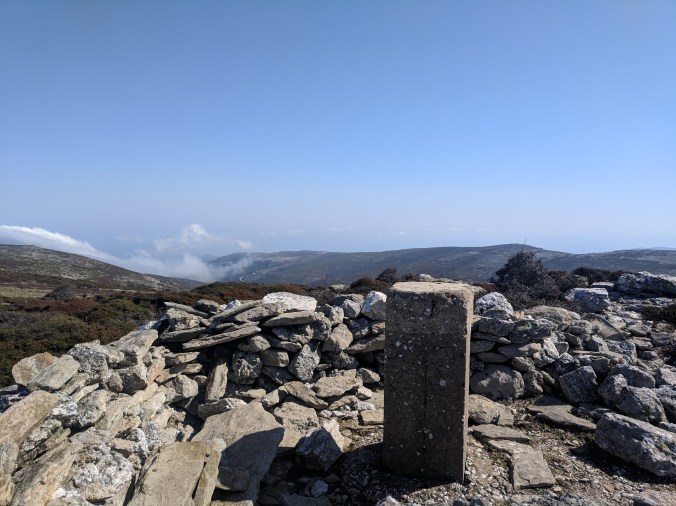
Kouvara summit
This challenge starts at the Southernmost tip (Steno) close to the church of Agios Stefanos and finishes at the rocky outcrop found at Kambano. For any purists out there wanting clear landmarks, I would recommend starting by dipping your finger in the water at Steno and then touching the large Skinos bush which clings to the cliff at Kambano.
For the suggested route developed by my father (see below), I can email you the GPX file however feel free to devise your own route between the start, four summits and finish.

Suggested route
Please provide evidence of your completed route e.g. GPX file or Strava link and I will add your details to the list of successful attempts below.
Please note that Andros terrain is notoriously rough and challenging. Having had previous exposure to the terrain and practice of some/all of the route will certainly help.
Short video about the End-to-End challenge.
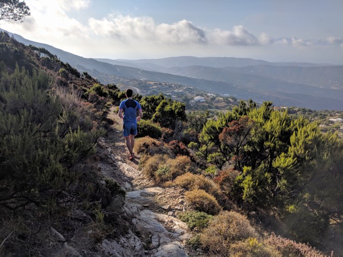
Descending Andros route 14 through Amolohos
A few points to be aware of:
- I would recommend starting before sunrise in the warmer months in order to maximize running time in the cool weather and also to help ensure your finish is before sunset as the last section is more difficult to complete in the dark than the relatively easy dirt road on the first section up to checkpoint 1.
- The route up from Menites village to Petalo summit is challenging as this is mostly off road. Thick gorse and bracken, line the route near the top making it slow going. Following GPS here is recommended. There are rivers in this area for cooling off in hot weather. I would advise familiarizing yourself with their location in case of running out of water.
- It is not possible to reach the exact summit of Amlohos (CP4) as this is contained within the Greek military base at this site. Reaching the perimeter fence of this complex will suffice as it is only a short distance from the true summit. Please note, it is prohibited to take any photographs in this area.
- The final section (approx. 1.5km) to Kambano is off-road and through the prickly “agathia” bushes. Using GPS is recommended here to help identify the rocky outcrop at the finish. The skinos bush seen below is to be taken as the end of the route.
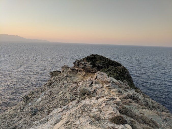
The finish point at Kampano
GPS Points
Steno: 37o 40.991’N, 24o 57.726’E, near Agios Stefanos church.
Kampanos: 37o 59.960’N, 24o 47.358’E
Route
Any route can be taken between start and finish and the four summits. The nature of the terrain and the condition underfoot will influence the choice of route. Careful planning and recceing are important.
List of successful completions:
- Andreas Tridimas: First completion on October 15th 2019 (Strava activity link). Distance: 70.5km, cumulative ascent: 3,650m. Overall time: 12h 31min, moving time 12h 6 min. Supported and partly accompanied.
- Dimitris Bothos and Vasilis Bothos: Friday 23 October 2020. Overall time: 75 hours and 11 minutes. Unsupported hiking expedition involving camping along the route.
Who is next??!
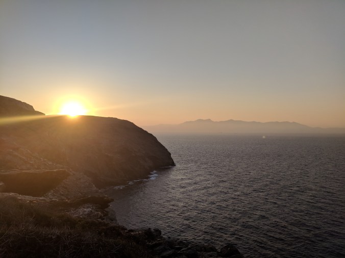
Sunset from Kampano
